MAPS AND CHARTS OF NORTH HAVEN
Whether you're exploring by land or sea, these maps and charts of North Haven island and the surrounding area may be helpful to you. The North Haven Conservation Partners has a great online map of properties on North Haven that are open to the public for hiking, walking or relaxing. View the North Haven Conserved Lands map below for some examples of island spaces open to the public.
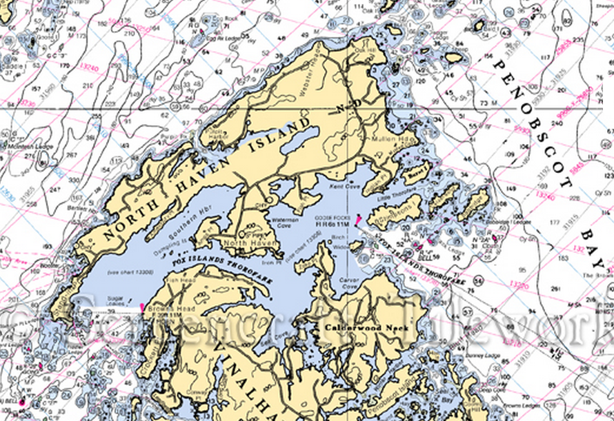
Below, you will find a chart of the waters surrounding North Haven. Blue Yonder Sail Charters is located in the heart of the Fox Islands Thorofare between North Haven and Vinalhaven islands (show below).
In addition to the map and chart shown here, you can find a number of interesting maps at the North Haven town website. From Historical Maps to Critical Wildlife Habitat, from the Zoning Map to the Topographical Map - they're all linked through the North Haven town website. Check them out!